Description
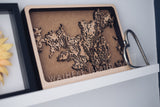
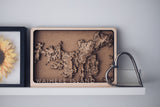
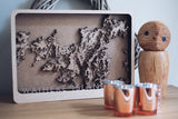
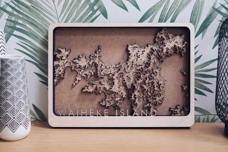
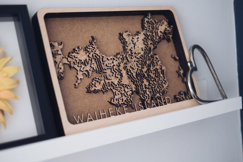
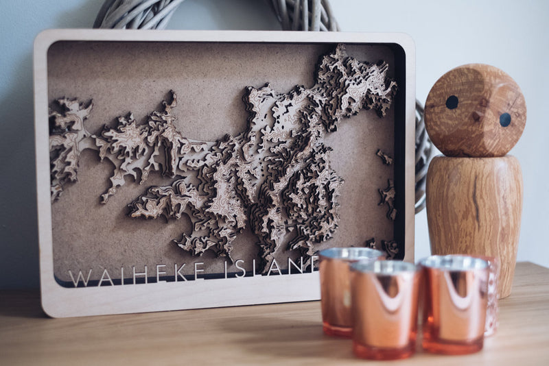
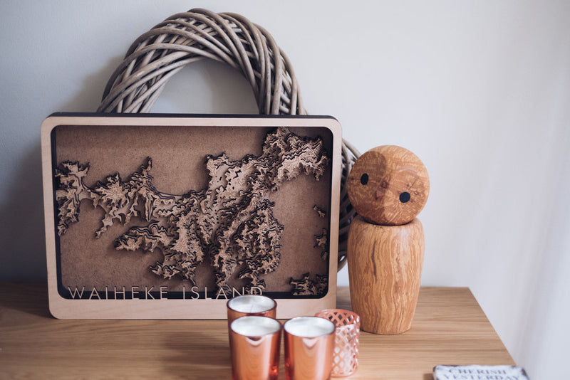
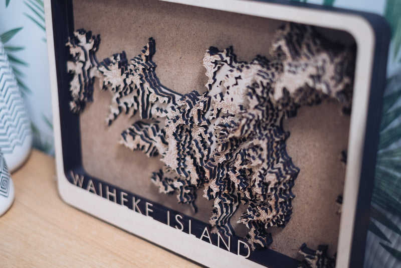
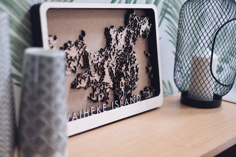
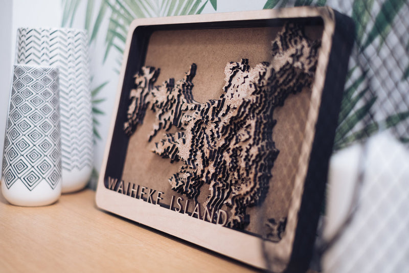
Here we have a beautiful multi layered topographic map Waiheke Island in the gulf of New Zealand
Built by hand using over 9 individual layers it forms a tactile and unique item of art that i am incredibly proud of. It takes over 9 hours to produce and is one of the most labour intensive designs i have with every individual layer being aligned and glued by hand.
This design is a real labour of love.
Each layer shows another step in elevation leading to a unique item of art that stands proud of its own framing.
The materials used are a combination of high density draft board and a lighter birch wood to create contrast.
Every order is designed, manufactured and built by myself meaning you get a unique item direct from the creator.
Dimensions
10in x 14in
35.5cm x 24.4cm
Data provided by:
(C) Mapbox (C) OpenStreetMap